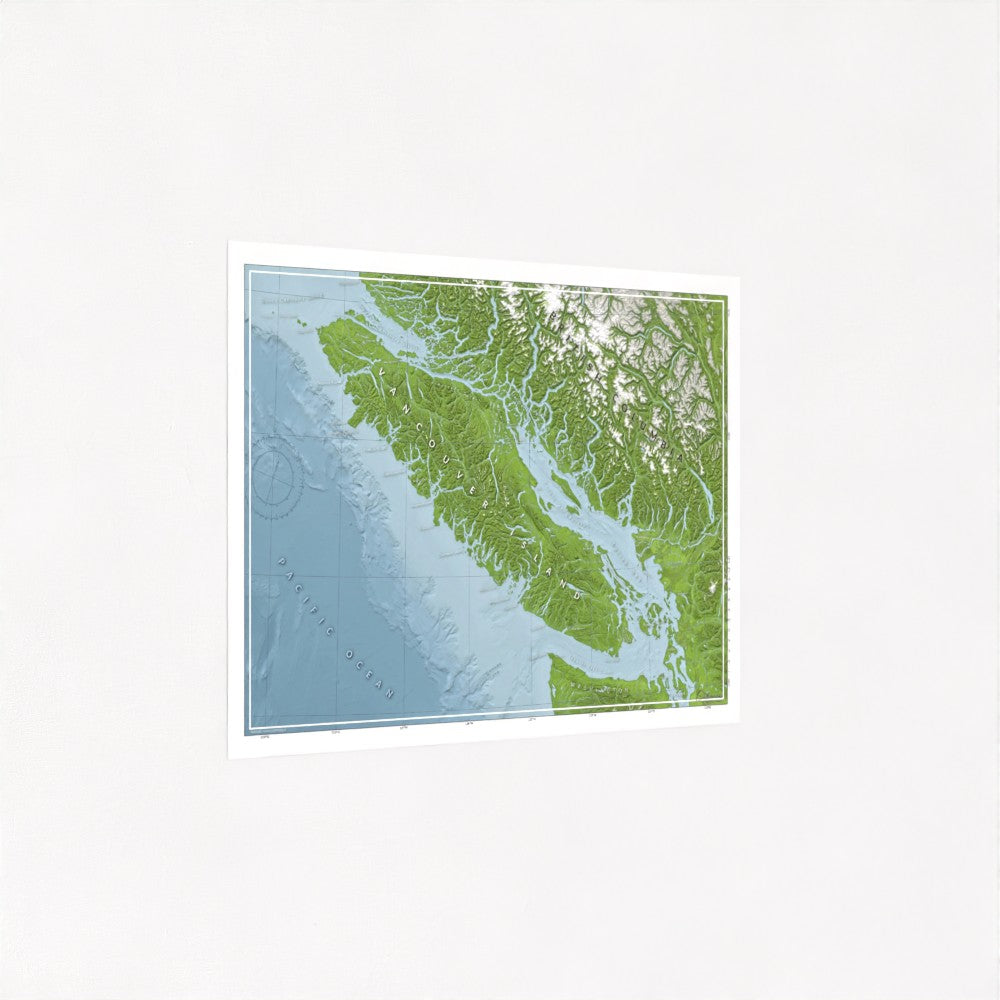
Map of Vancouver Island
Map of Vancouver Island
Couldn't load pickup availability
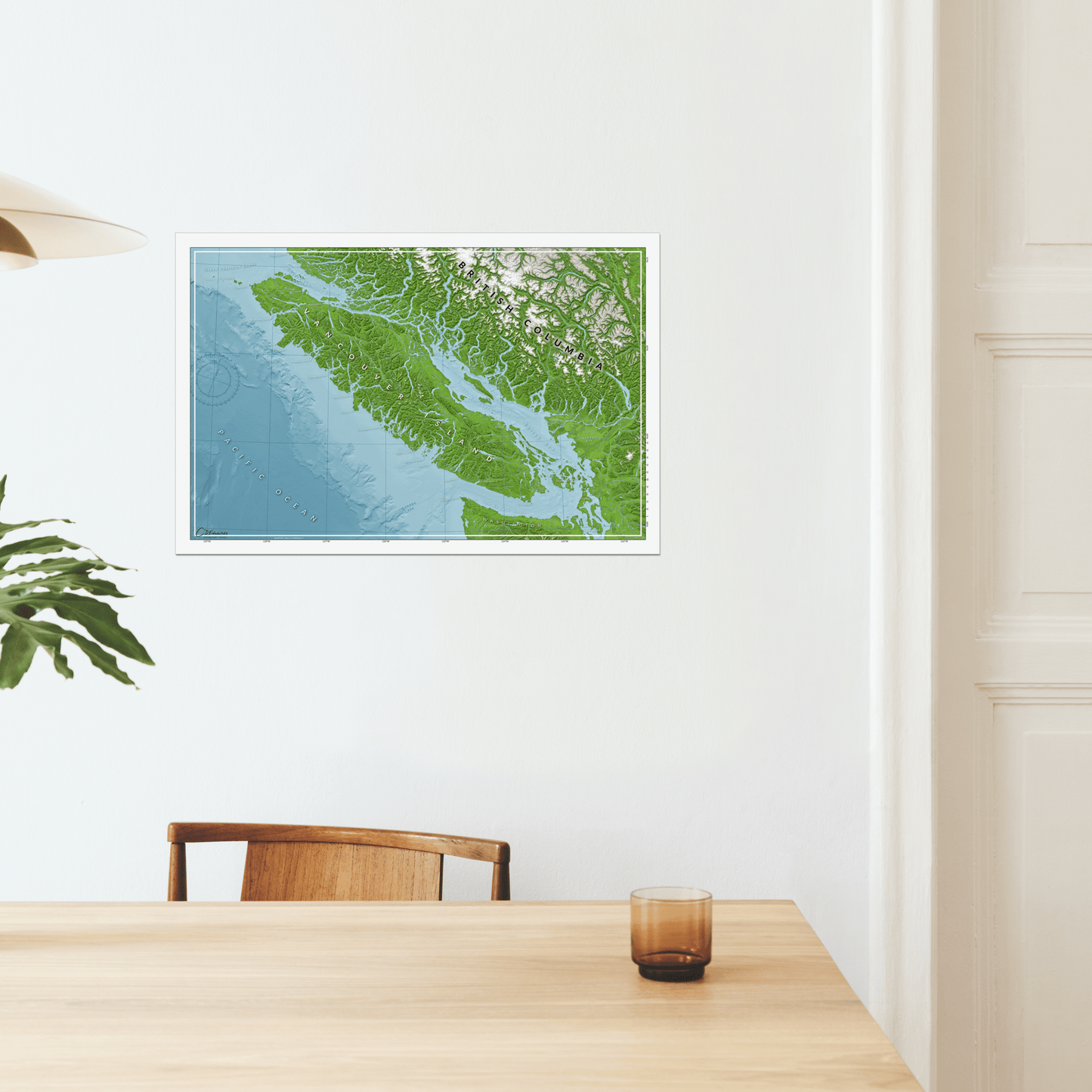
20"x30" map printed on premium satin photo paper.
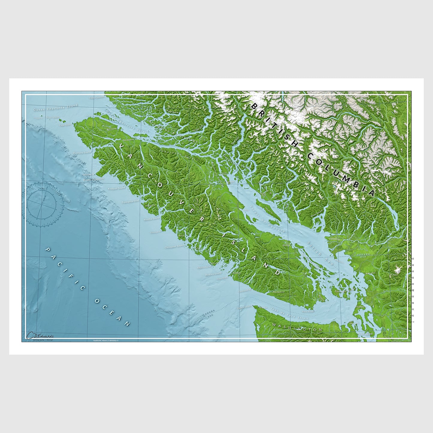
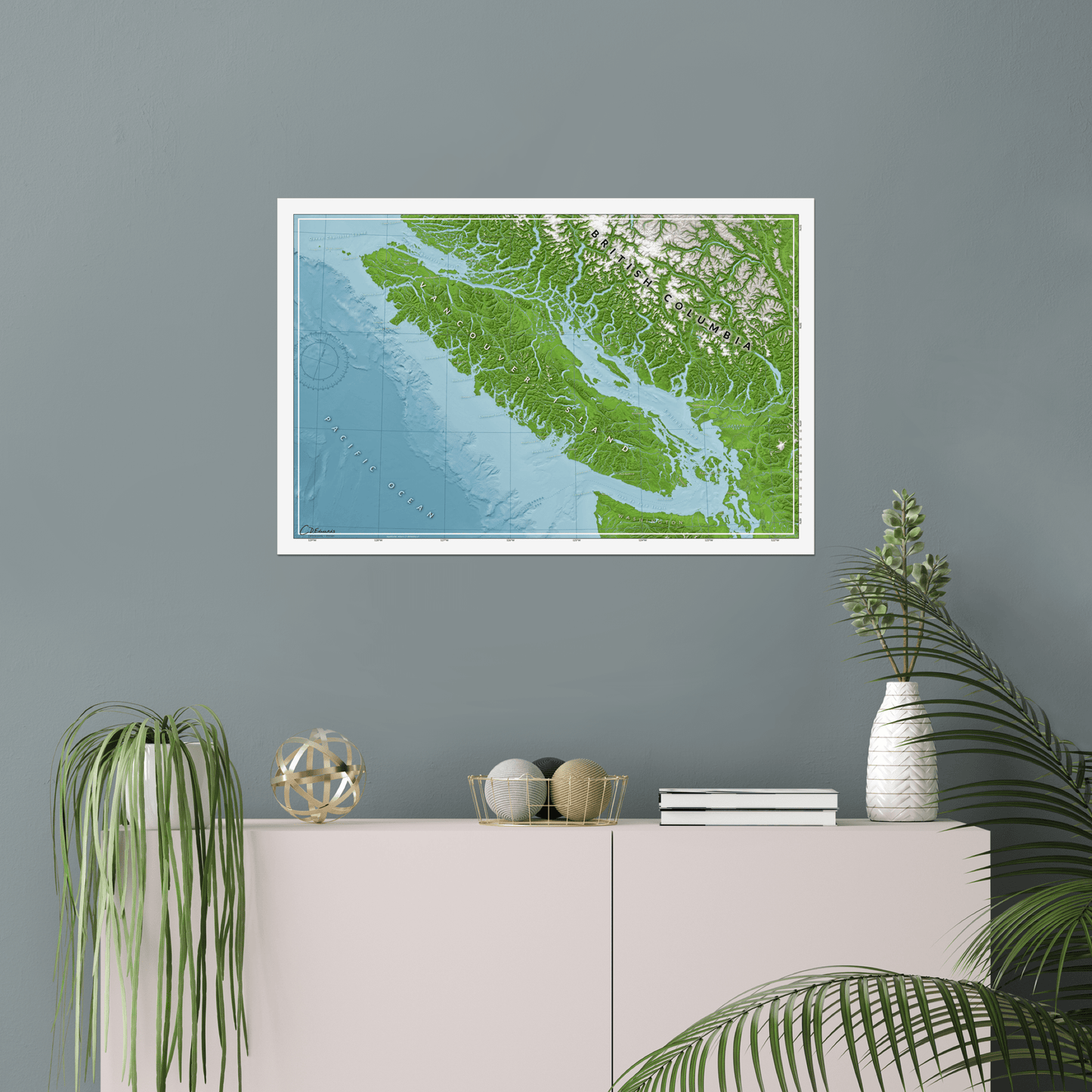
This map of Vancouver Island is a classic. Whether you're cruising the Gulf Islands, chasing swell on the west coast, timing the currents to paddle through the Broughtons, or heading to Cape Scott for a downwind run south, Vancouver Island is a waterperson's paradise.
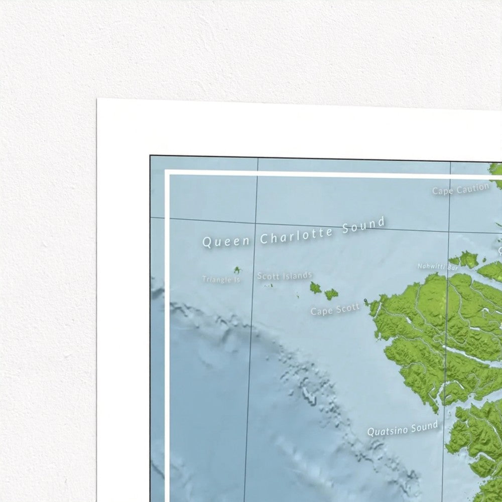
The map includes features that matter to a waterperson like the key lightstations and those places where character is built like Nahwitti Bar and Seymour Narrows. The towns on the map are the ones that are a good stop for provisions. The compass rose is based off a marine chart. The scale is in nautical miles. You can see the Canada-US border.
Share
Map Purpose
Map Purpose
This map is for dreaming and story-telling and is not intended for navigation.
Materials
Materials
TL;DR: 20" x 30" nice, thick, satin (semi-gloss) photo paper.
30" x 20" x (77 x 51) premium poster. Printed with giclée techniques using fade resistant, archival inks on 240gsm, satin photo paper with a resin coating. The result is a crisp white base with vibrant colours.
Print Colour
Print Colour
Each digital screen displays colour differently so please be aware that the actual item may appear to be slightly different in color than what you see on your computer or phone screen.
Packaging
Packaging
Each print is rolled with tissue paper to protect the print in transit. It is shipped in stout carboard packaging, ensuring it arrives safe and secure.
Data Sources
Data Sources
Proudly made using QGIS (open-source GIS software). The stack includes SRTM hillshade and GEBCO bathymetry for a three-dimensional look. A layer of Landsat imagery to add texture to the colour ramp. Freshwater features are from the BC Freshwater Atlas.