These maps exist so that you can tell your stories and plan your next trip.
With these maps hung on your wall you will be able to explain to people where you just were, and where you want to go. These maps are for storytelling, planning, and dreaming, with the added bonus of looking great and making you excited to get out there.
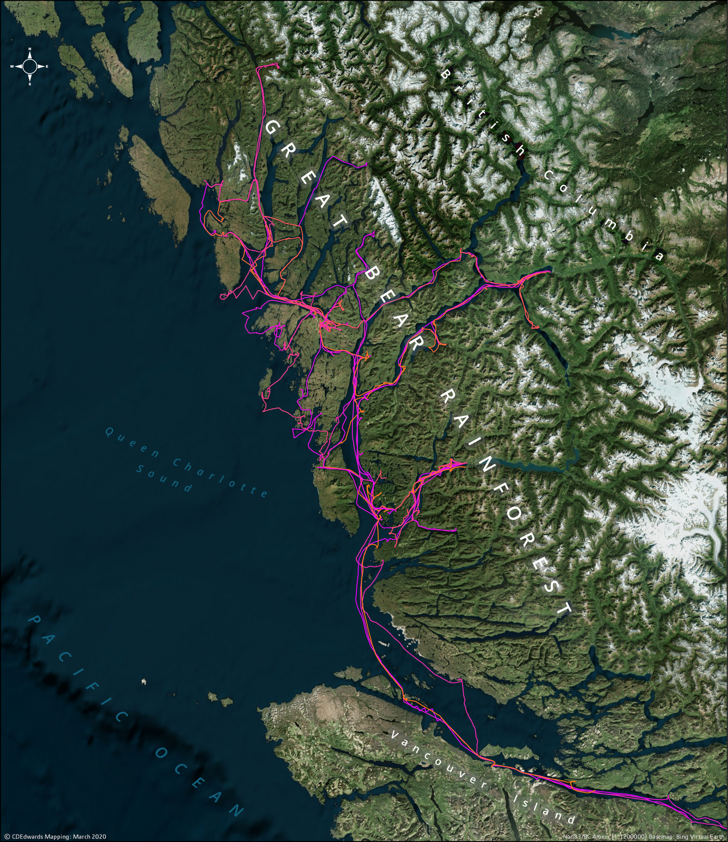
Maps are magic
They are a way to travel through time and space. They let you place yourself and your perspective into the story.
“A map tells you where you’ve been, where
you are, and where you’re going — in a sense it’s three tenses in one.” [Peter Greenaway]
Did I mention that I love maps?
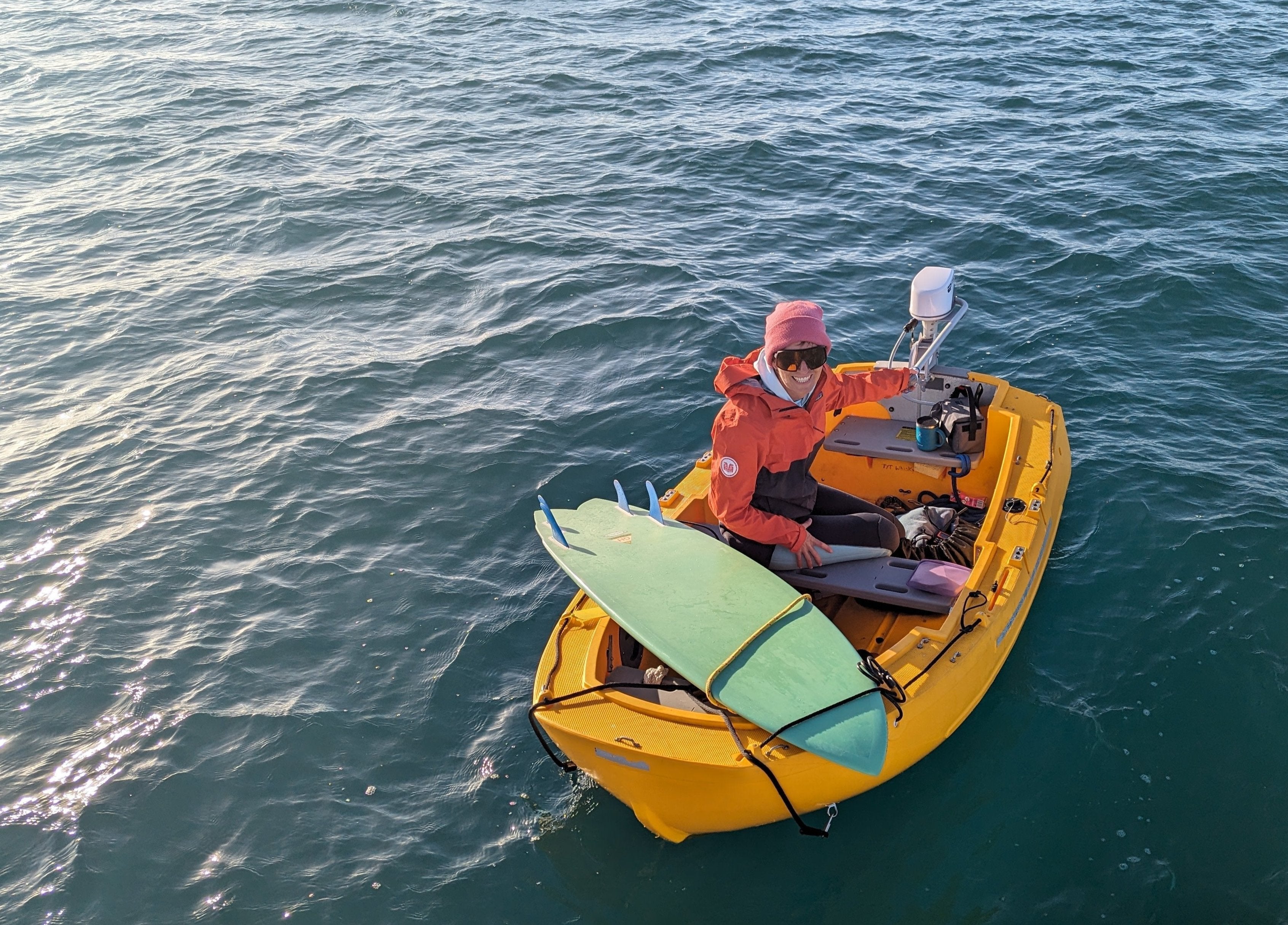
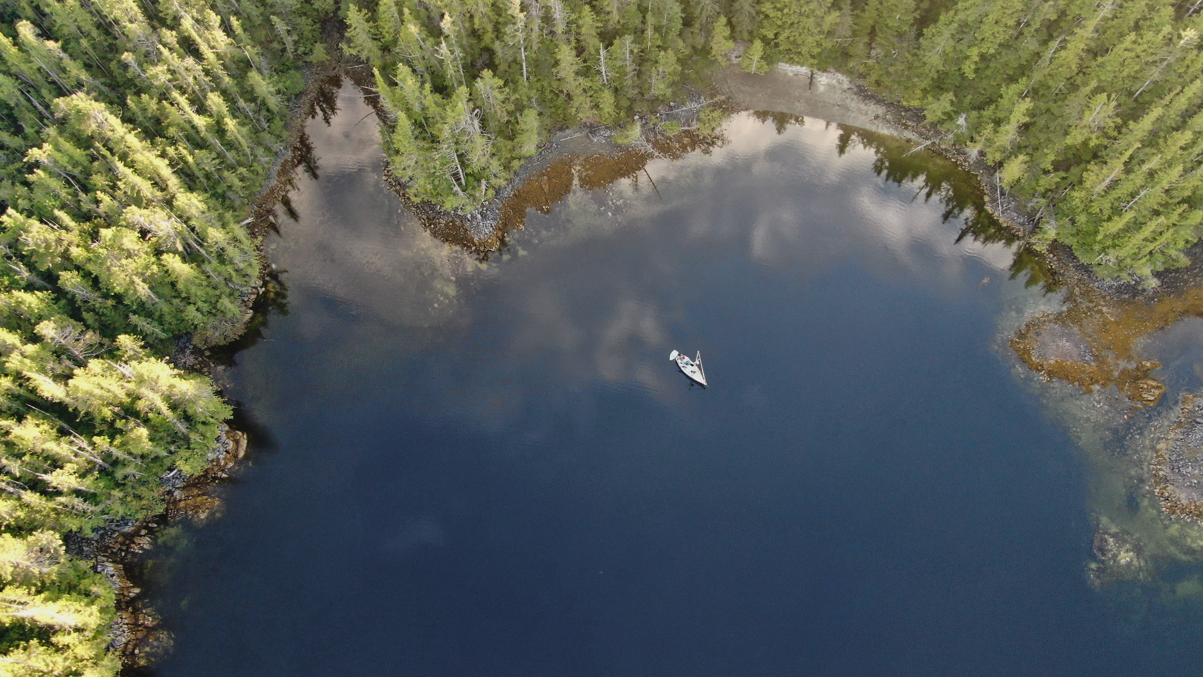
I combined my love of cartography and my love of the sea into this map collection.
Maps are important. They are for remembering where we come from and imagining where we're going. They are for telling stories and coming up with wild schemes late at night around the table with friends. When a map is hung on a wall it gives us a daily reminder of what's possible and helps remind us to put in the work towards our goals: places we want to go, things we want to do, all in the quest to live a life that we can proudly call our own.
I hope you find what you're looking for in my collections.
Every map and design you see here was made by me.
If you are convinced that you have an amazing idea for a map or want something customized then feel free to contact me. I am always open to interesting and compelling cartography projects.